NOTICE: SIGNALT Calculations are currently running through final testing and may be
inaccurate until completed.
Waterbug Land Use
| Category | ALUM Categories | Percent of upstream catchment | Area | |
|---|---|---|---|---|
| Pastoral Farming | 3.2.0 Grazing modified pastures, 3.2.1 Native/exotic pasture mosaic, 3.2.4 Pasture legume/grass mixtures, 3.2.5 Sown grasses, 4.2.0 Grazing irrigated modified pastures, 4.2.4 Irrigated sown grasses | 63.05% | 1,457,646,115m2 | |
| Residential And Infrastructure | 5.4.1 Urban residential, 5.4.2 Rural residential with agriculture, 5.4.3 Rural residential without agriculture, 5.4.5 Farm buildings/infrastructure, 5.7.2 Roads, 5.7.3 Railways | 17.93% | 414,433,702m2 | |
| Arable Farming | 3.3.0 Cropping, 3.3.1 Cereals, 3.3.3 Hay and silage, 4.3.0 Irrigated cropping, 4.3.3 Irrigated hay and silage, 4.4.9 Irrigated grapes | 8.04% | 185,832,372m2 | |
| Minimal Use | 1.3.3 Residual native cover | 4.22% | 97,543,237m2 | |
| Forestry Plantation | 3.1.1 Hardwood plantation forestry, 3.1.3 Other forest plantation, 3.1.4 Environmental forest plantation, 4.1.3 Irrigated other forest production | 3.06% | 70,781,375m2 | |
| Show minor land uses 5 | ||||
| 23,120,248m2 | ||||
Waterbug sample history
| Taxa | Abundance | SIGNALT Grade | |
|---|---|---|---|
| Nematoda II | 14 | 3 | |
|
Nematoda (Unident.) II999999 |
14 | ||
| Gastropoda KG | 6 | 1 | |
|
Angrobia angasi KG020501 |
2 | ||
|
Unknown KG0702A2 |
4 | ||
| Acarina MM | 20 | 6 | |
|
Mites (Unident.) MM999999 |
6 | ||
|
Oribatida (Unident.) MM9999A1 |
8 | ||
|
Mesostigmata (Unident.) MM9999A2 |
6 | ||
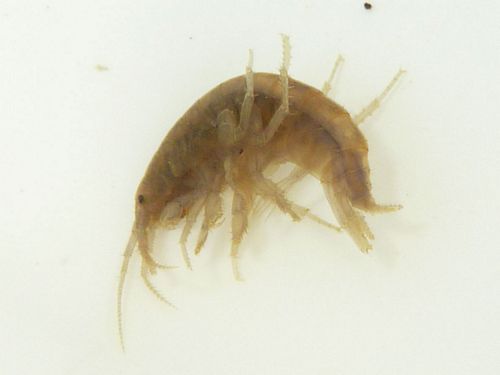
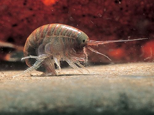
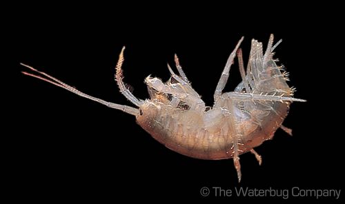
| Amphipoda OP | 6 | 3 | |
|
Austrochiltonia australis OP020101 |
6 | ||
| Unknown QA | 300 | ||
|
Hypogastruridae (Unident.) QA049999 |
150 | ||
|
Isotomidae (Unident.) QA069999 |
150 | ||
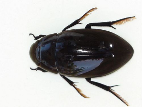
| Coleoptera QC | 10 | 5 | |
|
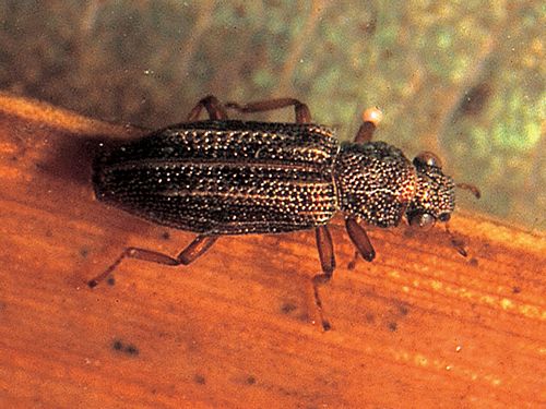
Berosus queenslandicus QC110423 |
2 | ||
|
Paracymus pygmaeus QC111601 |
6 | ||
|
|
|||
|
Hydrochus sp.(Unident.) QCAO0199 |
2 | ||
| Diptera QD | 178 | 3 | |
|
Tipulidae SRV sp.28 QD0199A8 |
2 | ||
|
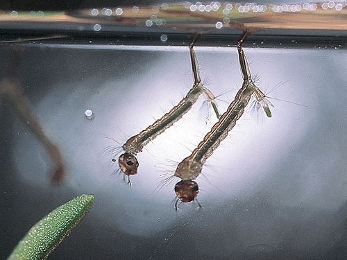
Anopheles sp.(Unident.) QD070199 |
28 | ||
|
|
|||
|
Culex sp.(Unident.) QD070799 |
88 | ||
|
|
|||
|
Stratiomyidae EPA sp.2 QD2499A2 |
2 | ||
|
Corynoneura sp.(Unident.) QDAF0699 |
2 | ||
|
Paralimnophyes sp (dark sp.) QDAF12A1 |
2 | ||
|
Paralimnophyes sp (light sp.) QDAF12A2 |
12 | ||
|
Bryophaenocladius sp.(Unident.) QDAF1899 |
2 | ||
|
Cladotanytarsus sp.(Unident.) QDAH0399 |
4 | ||
|
Chironomus sp.(Unident.) QDAI0499 |
36 | ||
|
|
|||
| Plecoptera QP | 10 | 10 | |
|
Gripopterygidae (Unident.) QP039999 |
10 | ||
| ORDER | |
|---|---|
| SIGNALT | 3.9 |
| Weighted SIGNALT | 3.6 |


