NOTICE: SIGNALT Calculations are currently running through final testing and may be
inaccurate until completed.
Waterbug Land Use
| Category | ALUM Categories | Percent of upstream catchment | Area | |
|---|---|---|---|---|
| Pastoral Farming | 3.2.0 Grazing modified pastures, 3.2.3 Pasture legumes, 3.2.4 Pasture legume/grass mixtures, 3.2.5 Sown grasses, 4.2.0 Grazing irrigated modified pastures, 4.2.3 Irrigated legume/grass mixtures, 4.2.4 Irrigated sown grasses | 50.74% | 21,085,192,235m2 | |
| Forestry Plantation | 3.1.1 Hardwood plantation forestry, 3.1.2 Softwood plantation forestry, 3.1.4 Environmental forest plantation | 15.29% | 6,352,831,949m2 | |
| Arable Farming | 3.3.0 Cropping, 3.3.1 Cereals, 3.3.8 Pulses, 3.5.3 Seasonal vegetables and herbs, 4.3.0 Irrigated cropping, 4.3.1 Irrigated cereals, 4.5.3 Irrigated seasonal vegetables and herbs | 14.61% | 6,072,589,362m2 | |
| Residential And Infrastructure | 5.4.1 Urban residential, 5.4.2 Rural residential with agriculture, 5.4.3 Rural residential without agriculture, 5.4.5 Farm buildings/infrastructure, 5.5.0 Services, 5.5.2 Public services, 5.5.3 Recreation and culture, 5.6.0 Utilities, 5.6.1 Fuel powered electricity generation, 5.7.1 Airports/aerodromes, 5.7.2 Roads, 5.7.3 Railways, 5.7.5 Navigation and communication | 7.39% | 3,069,418,805m2 | |
| Natural | 1.1.3 National park, 1.1.4 Natural feature protection, 1.1.7 Other conserved area, 1.2.4 Landscape | 3.95% | 1,640,706,598m2 | |
| Minimal Use | 1.3.3 Residual native cover | 3.93% | 1,633,706,784m2 | |
| Water | 6.2.1 Reservoir, 6.2.2 Water storage - intensive use/farm dams, 6.4.2 Drainage channel/aqueduct, 6.5.0 Marsh/wetland, 6.5.1 Marsh/wetland - conservation | 3.68% | 1,529,459,541m2 | |
| Show minor land uses 5 | ||||
| 415,584,007m2 | ||||
Waterbug sample history
| Taxa | Abundance | SIGNALT Grade | |
|---|---|---|---|
| Nematoda II | 8 | 3 | |
|
Nematoda (Unident.) II999999 |
8 | ||
| Gastropoda KG | 1946 | 1 | |
|
Potamopyrgus antipodarum KG020601 |
1946 | ||
| Oligochaeta LO | 8 | 2 | |
|
Enchytraeidae (Unident.) LO089999 |
8 | ||
| Unknown LP | 220 | ||
|
Syllidae (Unident.) LP079999 |
220 | ||
| Acarina MM | 2 | 6 | |
|
Mesostigmata (Unident.) MM9999A2 |
2 | ||
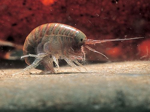
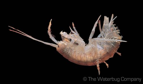
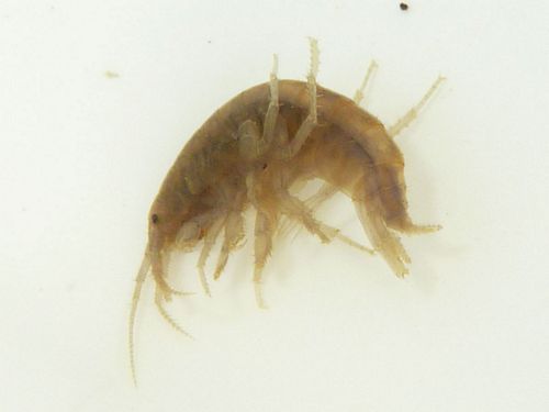
| Amphipoda OP | 60 | 3 | |
|
Corophiidae (Unident.) OP059999 |
60 | ||
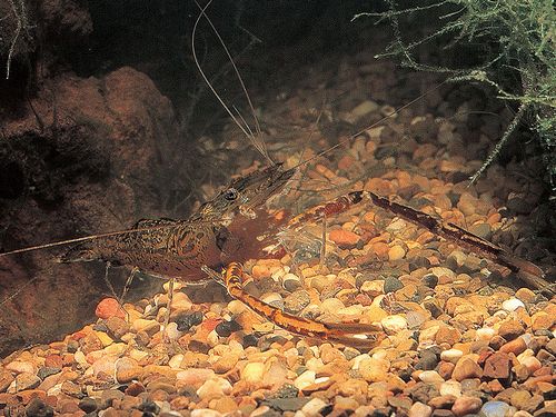
| Unknown OT | 2 | ||
|
Macrobrachium sp.(Unident.) OT020199 |
2 | ||
| Unknown OX | 2 | ||
|
Amarinus lacustris OX010101 |
2 | ||
| Unknown QA | 16 | ||
|
Hypogastruridae (Unident.) QA049999 |
16 | ||
| Coleoptera QC | 12 | 5 | |
|
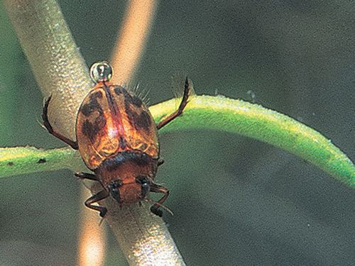
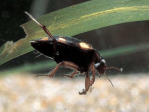
Necterosoma penicillatus QC092001 |
6 | ||
|
Necterosoma sp.(Unident.)(Larva) QC09209I |
6 | ||
| Diptera QD | 162 | 3 | |
|
Stratiomyidae (Unident.) QD249999 |
2 | ||
|
Ephydridae (Unident.) QD789999 |
2 | ||
|
Procladius sp.(Unident.) QDAE0899 |
10 | ||
|
Tanytarsus sp.(Unident.) QDAH0499 |
4 | ||
|
Dicrotendipes sp.(Unident.) QDAI0699 |
120 | ||
|
Cladopelma sp.(Unident.) QDAI2299 |
24 | ||
|
|
|||
| Odonata QO | 2 | 3 | |
|
Ischnura sp.(Unident.) QO021099 |
2 | ||
| ORDER | |
|---|---|
| SIGNALT | 2.2 |
| Weighted SIGNALT | 2.1 |


