NOTICE: SIGNALT Calculations are currently running through final testing and may be
inaccurate until completed.
Waterbug Land Use
| Category | ALUM Categories | Percent of upstream catchment | Area | |
|---|---|---|---|---|
| Minimal Use | 1.3.0 Other minimal use, 1.3.1 Defence land - natural areas, 1.3.3 Residual native cover, 2.1.0 Grazing native vegetation | 34.44% | 541,786,485,274m2 | |
| Pastoral Farming | 3.2.0 Grazing modified pastures, 3.2.1 Native/exotic pasture mosaic, 3.2.5 Sown grasses, 4.2.0 Grazing irrigated modified pastures, 4.2.4 Irrigated sown grasses | 24.52% | 385,816,879,663m2 | |
| Natural | 1.1.1 Strict nature reserves, 1.1.2 Wilderness area, 1.1.3 National park, 1.1.5 Habitat/species management area, 1.2.0 Managed resource protection, 1.2.1 Biodiversity, 1.2.2 Surface water supply, 1.2.4 Landscape | 13.55% | 213,142,985,966m2 | |
| Arable Farming | 3.3.0 Cropping, 3.3.3 Hay and silage, 3.4.0 Perennial horticulture, 3.4.1 Tree fruits, 3.4.2 Olives, 3.4.3 Tree nuts, 3.4.4 Vine fruits, 3.4.9 Grapes, 3.5.0 Seasonal horticulture, 3.5.2 Seasonal flowers and bulbs, 3.5.3 Seasonal vegetables and herbs, 4.3.0 Irrigated cropping, 4.4.0 Irrigated perennial horticulture, 4.4.1 Irrigated tree fruits, 4.4.2 Irrigated olives, 4.4.4 Irrigated vine fruits, 4.4.9 Irrigated grapes, 4.5.4 Irrigated turf farming | 7.98% | 125,622,036,418m2 | |
| Residential And Infrastructure | 5.4.0 Residential and farm infrastructure, 5.4.1 Urban residential, 5.4.2 Rural residential with agriculture, 5.4.3 Rural residential without agriculture, 5.4.5 Farm buildings/infrastructure, 5.5.0 Services, 5.5.2 Public services, 5.5.3 Recreation and culture, 5.5.4 Defence facilities - urban, 5.5.5 Research facilities, 5.6.0 Utilities, 5.6.5 Electricity substations and transmission, 5.6.7 Water extraction and transmission, 5.7.0 Transport and communication, 5.7.1 Airports/aerodromes, 5.7.2 Roads, 5.7.3 Railways, 5.7.5 Navigation and communication | 5.40% | 84,999,443,799m2 | |
| Show minor land uses 9 | ||||
| 15,733,588,373m2 | ||||
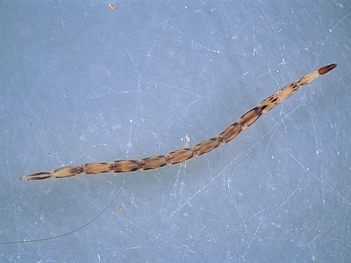
Waterbug sample history
| Taxa | Abundance | SIGNALT Grade | |
|---|---|---|---|
| Gastropoda KG | 29 | 1 | |
|
Ancylidae (Unident.) KG069999 |
6 | ||
|
Planorbidae (Unident.) KG079999 |
5 | ||
|
Physidae (Unident.) KG089999 |
18 | ||
| Oligochaeta LO | 3 | 2 | |
|
Oligochaeta (Unident.) LO999999 |
3 | ||
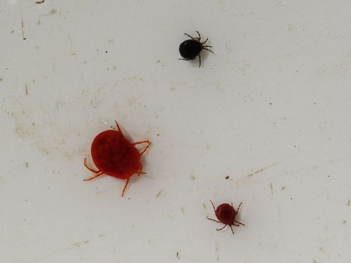
| Acarina MM | 2 | 6 | |
|
Mites (Unident.) MM999999 |
2 | ||
|
|||
| Unknown OG | 12 | ||
|
Cladocera (Unident.) OG999999 |
12 | ||
| Unknown OH | 1 | ||
|
Ostracoda (Unident.) OH999999 |
1 | ||
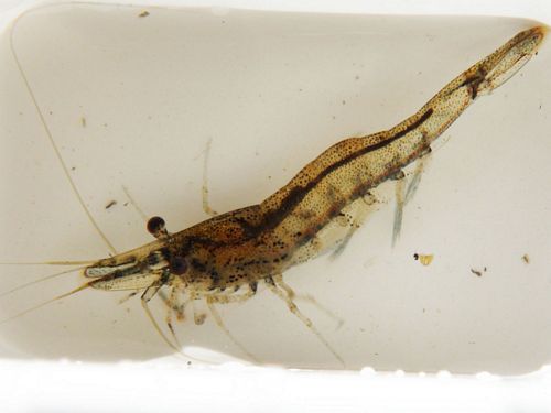
| Unknown OT | 37 | ||
|
Atyidae (Unident.) OT019999 |
34 | ||
|
|||
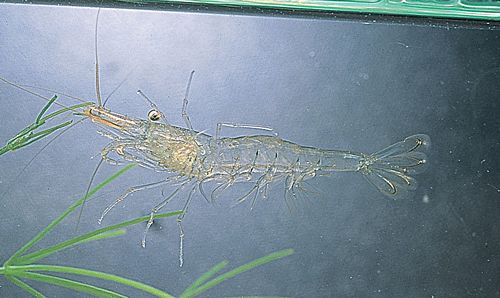
|
Palaemonidae (Unident.) OT029999 |
3 | ||
|
|||
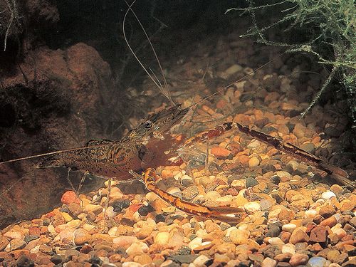
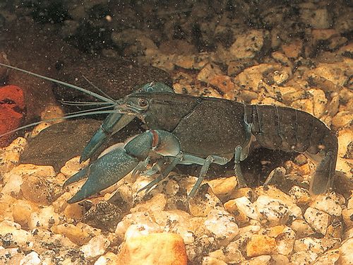
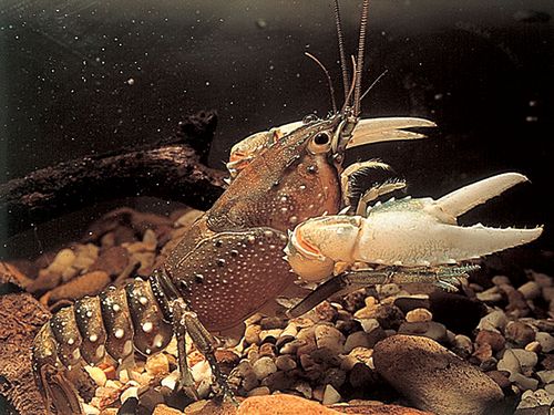
| Unknown OV | 4 | ||
|
Parastacidae (Unident.) OV019999 |
4 | ||
|
|||
| Unknown QA | 1 | ||
|
Collembola (Unident.) QA999999 |
1 | ||
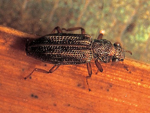
| Coleoptera QC | 9 | 5 | |
|
Dytiscidae (Unident.) QC099999 |
1 | ||
|
Hydraenidae (Unident.) QC139999 |
1 | ||
|
|||
|
Scirtidae (Unident.) QC209999 |
7 | ||
|
|||
| Diptera QD | 50 | 3 | |
|
Ceratopogonidae (Unident.) QD099999 |
2 | ||
|
|||
|
Tanypodinae (Unident.) QDAE9999 |
6 | ||
|
Chironominae (Unident.) QDAJ9999 |
42 | ||
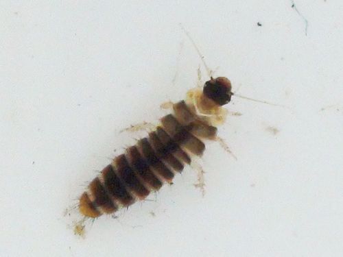
| Ephemeroptera QE | 16 | 9 | |
|
Baetidae (Unident.) QE029999 |
3 | ||
|
Caenidae (Unident.) QE089999 |
13 | ||
| Hemiptera QH | 30 | 2 | |
|
Veliidae (Unident.) QH569999 |
5 | ||
|
Gerridae (Unident.) QH579999 |
2 | ||
|
Corixidae (Unident.) QH659999 |
17 | ||
|
Notonectidae (Unident.) QH679999 |
6 | ||
| Odonata QO | 21 | 3 | |
|
Coenagrionidae (Unident.) QO029999 |
3 | ||
|
Isostictidae (Unident.) QO039999 |
3 | ||
|
Protoneuridae (Unident.) QO049999 |
7 | ||
|
Aeshnidae (Unident.) QO129999 |
7 | ||
|
Corduliidae (Unident.) QO169999 |
1 | ||
| Trichoptera QT | 32 | 8 | |
|
Hydroptilidae (Unident.) QT039999 |
2 | ||
|
Leptoceridae (Unident.) QT259999 |
30 | ||
| ORDER | |
|---|---|
| SIGNALT | 2.8 |
| Weighted SIGNALT | 3.0 |