NOTICE: SIGNALT Calculations are currently running through final testing and may be
inaccurate until completed.
Waterbug Land Use
| Category | ALUM Categories | Percent of upstream catchment | Area | |
|---|---|---|---|---|
| Natural | 1.1.3 National park, 1.1.4 Natural feature protection, 1.1.5 Habitat/species management area, 1.1.6 Protected landscape, 1.1.7 Other conserved area, 1.2.0 Managed resource protection | 45.35% | 19,687,640,754m2 | |
| Forestry | 2.2.0 Production native forests, 3.1.0 Plantation forests | 25.04% | 10,867,611,693m2 | |
| Forestry Plantation | 3.1.1 Hardwood plantation forestry, 3.1.2 Softwood plantation forestry | 20.74% | 9,001,514,226m2 | |
| Pastoral Farming | 3.2.0 Grazing modified pastures, 3.2.1 Native/exotic pasture mosaic, 4.2.0 Grazing irrigated modified pastures | 3.74% | 1,624,617,206m2 | |
| Minimal Use | 1.3.0 Other minimal use, 1.3.3 Residual native cover, 2.1.0 Grazing native vegetation | 3.32% | 1,442,882,060m2 | |
| Show minor land uses 6 | ||||
| 434,084,518m2 | ||||
Waterbug sample history
| Taxa | Abundance | SIGNALT Grade | |
|---|---|---|---|
| Turbellaria IF | 4 | 2 | |
|
Turbellaria (Unident.) IF999999 |
4 | ||
| Gastropoda KG | 50 | 1 | |
|
Ancylidae (Unident.) KG069999 |
22 | ||
|
Planorbidae (Unident.) KG079999 |
28 | ||
| Coleoptera QC | 85 | 5 | |
|
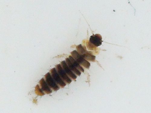
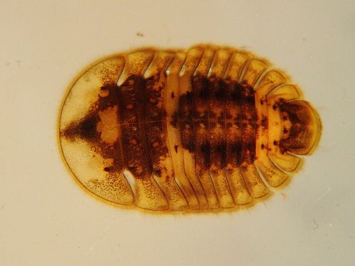
Scirtidae (Unident.) QC209999 |
40 | ||
|
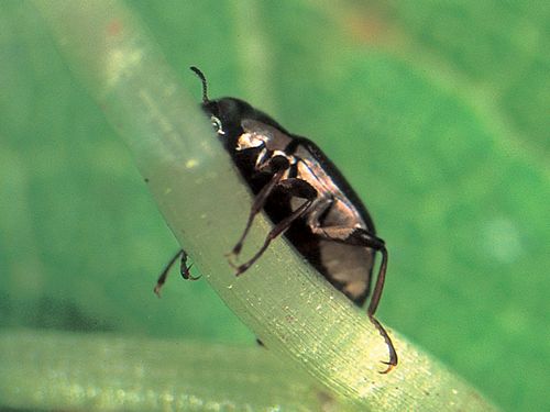
Elmidae Adults QC34999A |
28 | ||
|
|
|||
|
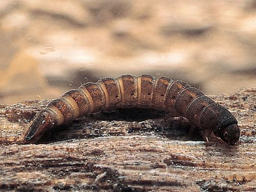
Elmidae Larvae QC34999L |
7 | ||
|
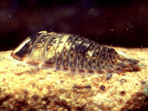
Psephenidae (Unident.) QC379999 |
10 | ||
| Diptera QD | 13 | 3 | |
|
Simuliidae (Unident.) QD109999 |
8 | ||
|
Orthocladiinae (Unident.) QDAF9999 |
5 | ||
| Ephemeroptera QE | 121 | 9 | |
|
Baetidae (Unident.) QE029999 |
22 | ||
|
Leptophlebiidae (Unident.) QE069999 |
99 | ||
| Plecoptera QP | 1 | 10 | |
|
Eustheniidae (Unident.) QP019999 |
1 | ||
| Trichoptera QT | 100 | 8 | |
|
Hydrobiosidae (Unident.) QT019999 |
22 | ||
|
Hydropsychidae (Unident.) QT069999 |
1 | ||
|
Helicopsychidae (Unident.) QT179999 |
3 | ||
|
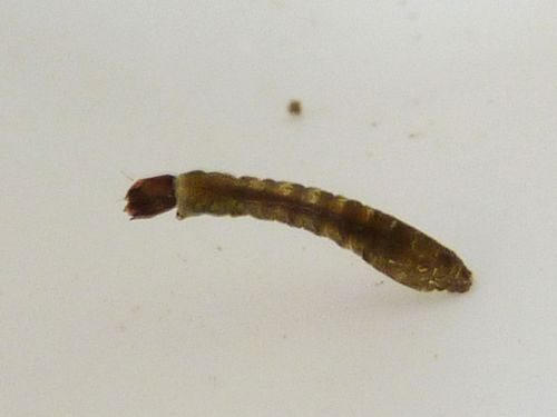
Calocidae (Unident.) QT189999 |
11 | ||
|
Leptoceridae (Unident.) QT259999 |
63 | ||
| ORDER | |
|---|---|
| SIGNALT | 5.4 |
| Weighted SIGNALT | 5.2 |

