NOTICE: SIGNALT Calculations are currently running through final testing and may be
inaccurate until completed.
Waterbug Land Use
| Category | ALUM Categories | Percent of upstream catchment | Area | |
|---|---|---|---|---|
| Forestry | 2.2.0 Production native forests, 3.1.0 Plantation forests | 78.17% | 1,075,228,530m2 | |
| Natural | 1.1.7 Other conserved area | 13.53% | 186,116,462m2 | |
| Forestry Plantation | 3.1.1 Hardwood plantation forestry | 8.10% | 111,420,057m2 | |
| Show minor land uses 1 | ||||
| 13,755,131m2 | ||||
Waterbug sample history
| Taxa | Abundance | SIGNALT Grade | |
|---|---|---|---|
| Bivalvia KP | 1 | 3 | |
|
Sphaeriidae (Unident.) KP039999 |
1 | ||
| Oligochaeta LO | 8 | 2 | |
|
Oligochaeta (Unident.) LO999999 |
8 | ||
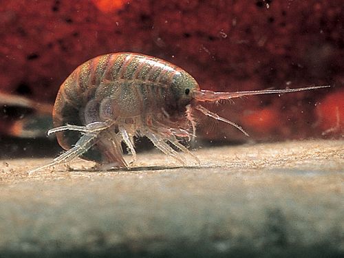
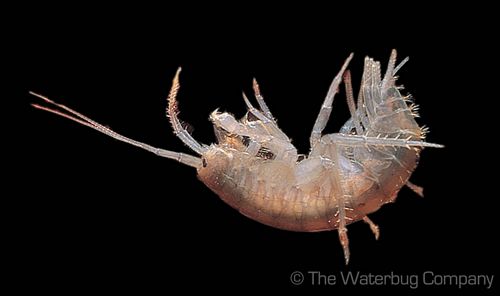
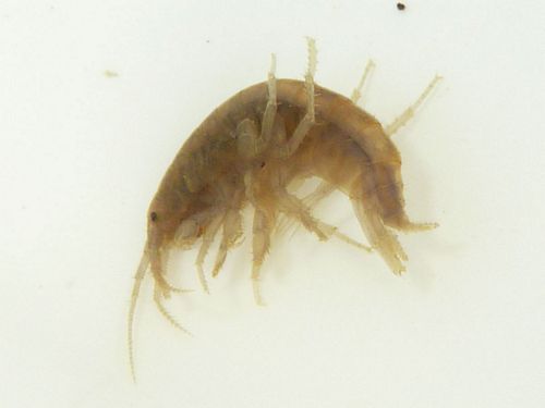
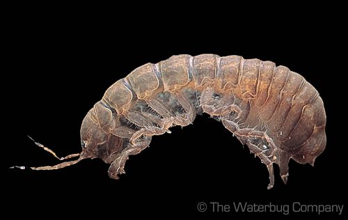
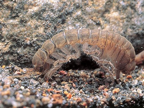
| Amphipoda OP | 21 | 3 | |
|
Paramelitidae (Unident.) OP069999 |
21 | ||
|
|||
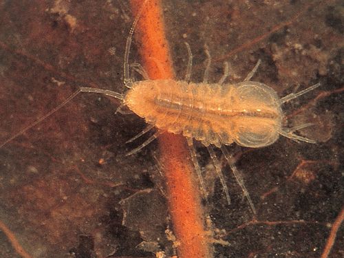
| Isopoda OR | 3 | 2 | |
|
Phreatoicidae (Unident.) OR059999 |
2 | ||
|
|||
|
Janiridae (Unident.) OR189999 |
1 | ||
|
|||
| Diptera QD | 38 | 3 | |
|
Tipulidae (Unident.) QD019999 |
1 | ||
|
Tanypodinae (Unident.) QDAE9999 |
1 | ||
|
Chironominae (Unident.) QDAJ9999 |
36 | ||
| Trichoptera QT | 4 | 8 | |
|
Leptoceridae (Unident.) QT259999 |
4 | ||
| ORDER | |
|---|---|
| SIGNALT | 3.5 |
| Weighted SIGNALT | 3.3 |